
Mountains and Plateaus MCQs | PDF Free Download

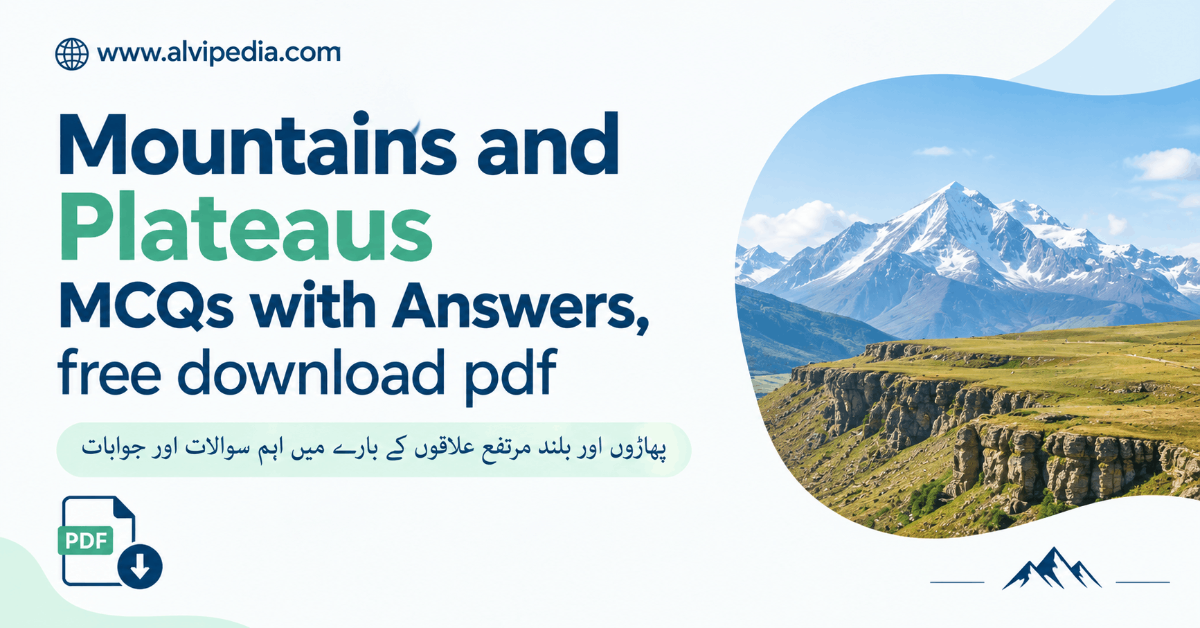
Mountains and Plateaus MCQs: 50 questions with answers for PPSC, FPSC, CSS exams. Test your knowledge with instant scoring, explanations, and printable PDF.
1. Which is the highest mountain in the world?
2. How many main types of mountains are there?
3. The Himalayas are an example of which type of mountains?
4. Which plateau is called the “Roof of the World”?
5. The largest plateau in the world is:
6. The Andes mountain range is located in:
7. What is a plateau?
8. Which mountain range separates Europe from Asia?
9. The Deccan Plateau is located in:
10. The second-highest mountain in the world is:
11. The plateau famous for its black soil (regur soil) is:
12. The Alps mountain range is primarily located in:
13. Which is the longest mountain range in the world?
14. The Rocky Mountains are found in:
15. The highest plateau in India is:
16. The mountain range that acts as a natural boundary between India and China is:
17. Which of these is a volcanic mountain?
18. The highest peak in Africa is:
19. The mountain pass that connects India and China is:
20. The highest peak in the Alps is:
21. The plateau known for its Grand Canyon is:
22. What is the height of Mount Everest, the world’s tallest mountain?
23. Which is the second-highest mountain in the world (after Everest)?
24. The Alps mountain range is primarily located in:
25. The Andes, the world’s longest mountain range, stretches across which continent?
26. Which plateau is known as the “Roof of the World”?
27. The height of Kangchenjunga, the third-highest mountain, is:
28. Which mountain range separates India from China?
29. The Rocky Mountains are located in:
30. The height of Nanga Parbat, the “Killer Mountain,” is:
31. Which plateau is known for its Grand Canyon?
32. The highest peak in Europe, Mount Elbrus, is located in:
33. The Tibetan Plateau has an average elevation of:
34. The height of Denali (highest peak in North America) is:
35. The highest plateau in India is:
36. The height of Mount Fuji, Japan’s highest peak, is:
37. The plateau known for its “Black Soil” (Regur Soil) is:
38. Which mountain range is known for the “Khyber Pass”?
39. Block mountains are formed by:
40. The Great Dividing Range is located in:
41. The Appalachian Mountains are located in:
42. Residual mountains are:
43. The Atacama Plateau is located in:
44. Fold mountains are formed when:
45. The Matterhorn peak is located in:
46. The Tibetan Plateau covers an area of approximately:
47. Volcanic mountains are typically:
48. The Balkan Mountains are primarily located in:
49. The Colombian Plateau has an average elevation of:
50. Which is NOT a characteristic of plateaus?
Mountains and Plateaus MCQs are crucial topics for Pakistani competitive exams like PPSC, FPSC, NTS, and CSS because they test geographical knowledge and understanding of Earth’s landforms. These elevated regions shape our planet’s climate, ecology, and human civilization in profound ways. Mastering both concepts—their formation, classification, and characteristics—is essential for exam success.
Mountains and plateaus form diverse ecosystems, influence weather patterns, harbor mineral deposits, and are home to millions of people. Understanding their types and formation processes helps you answer complex exam questions about geography, geology, and environmental science.
What Are Mountains?
A mountain is a landform that rises significantly above the surrounding terrain. Mountains are typically characterized by steep sides, high elevation, and summit peaks. They cover about 24% of Earth’s land surface and influence weather patterns, water cycles, and biodiversity across the globe.
Unlike hills—which are smaller and have gentler slopes—mountains are major topographic features formed through complex geological processes. They can reach thousands of meters in height and span entire continents. The Himalayas, Andes, and Alps are among the most famous mountain ranges on Earth.
The Four Main Types of Mountains
Geologists classify mountains into four primary types based on their formation process. Understanding these types is essential for competitive exams and helps explain the distribution of mountains worldwide.
Formed by tectonic plate collision that pushes and crumples rock layers. Examples: Himalayas, Andes, Alps. Youngest and most active mountain type.
Formed by faulting and subsidence where large blocks shift vertically. Steep on one side, gentle on the other. Example: Sierra Nevada.
Built by repeated eruptions of lava and pyroclastic material. Cone-shaped with steep sides. Examples: Mount Fuji, Mount Kilimanjaro.
Remnants of old mountains heavily eroded over time. Lower elevation than other types. Indicate ancient geological activity.
How Mountains Compare
| Mountain Type | Formation Process | Shape & Features | Notable Examples |
|---|---|---|---|
| Fold | Plate collision & compression | Parallel ridges, high elevation, active | Himalayas, Andes, Alps |
| Block | Faulting & subsidence | Steep on one side, tilted | Sierra Nevada, Rockies |
| Volcanic | Lava & pyroclastic flow | Cone-shaped, steep sides | Mount Fuji, Kilimanjaro |
| Residual | Erosion of older mountains | Rounded peaks, low elevation | Appalachians, Western Ghats |
Understanding Plateaus
A plateau is a large, flat-topped elevated landform that rises steeply from surrounding lowlands. Plateaus cover approximately 5 million km² of Earth’s land surface and exist on every continent. They typically have steep edges but relatively level surfaces, making them distinct from mountains.
Plateaus form through different processes than mountains. Some result from tectonic uplift, others from lava flows that cool over large areas, and some from erosion that leaves elevated regions behind. The largest plateau—the Tibetan Plateau—covers 2.5 million km² with an average elevation of 4,500 meters.
Major Plateaus of the World
- • Tibetan Plateau – Asia’s largest, 4,500 m average elevation, called the “Roof of the World”
- • Deccan Plateau – Southern India, known for black regur soil ideal for cotton
- • Colorado Plateau – USA, home to the Grand Canyon and spectacular landscapes
- • Brazilian Plateau – South America’s largest, rich in mineral resources
- • Anatolian Plateau – Central Turkey, semi-arid climate, dense population
- • Atacama Plateau – Chile & Peru, part of the Andes system
- • Colombian Plateau – Andes region, 2,600 m average elevation
- • Ladakh Plateau – India’s highest, 3,000-5,500 m elevation
Remember: Mountains have peaks; plateaus have flat tops. Mountains are steep all around; plateaus have steep edges but flat surfaces. This distinction is crucial for multiple-choice questions that test your understanding of landform characteristics.
The World’s Highest Mountains
The tallest mountains on Earth are found primarily in the Himalayan range and neighboring regions. Mount Everest reigns as the world’s highest peak, and the top 10 highest mountains are all located in or near the Himalayas.
| Rank | Mountain Name | Height (meters) | Location |
|---|---|---|---|
| 1 | Mount Everest | 8,848 | Nepal-Tibet |
| 2 | K2 (Godwin-Austen) | 8,611 | Pakistan-China |
| 3 | Kangchenjunga | 8,586 | Nepal-India |
| 4 | Lhotse | 8,516 | Nepal-Tibet |
| 5 | Makalu | 8,485 | Nepal-Tibet |
Major Mountain Ranges of the World
- • Himalayas – 2,400 km long, 9 of the world’s 10 highest peaks, separates India from China
- • Andes – 7,000 km long, world’s longest mountain range, extends through South America
- • Rocky Mountains – 4,800 km long, spans Canada and western USA
- • Alps – 1,200 km long, extends through 8 European countries
- • Ural Mountains – Separates Europe from Asia
- • Appalachian Mountains – Extends along eastern North America
“Mountains and plateaus are the backbone of Earth’s continents, shaping climate, controlling water flow, and providing habitat for countless species. They stand as monuments to the tremendous power of geological processes.”
Mountains and Plateaus in India
India’s geography is dominated by several significant mountain ranges and plateaus. The Himalayas form the northern boundary, while the Western and Eastern Ghats run along the coasts. The Deccan Plateau covers most of southern India.
Indian Mountain Ranges and Plateaus
- • Himalayas – Northern boundary, most active fold mountains, youngest mountain system
- • Western Ghats – Runs along the western coast, contains unique biodiversity
- • Eastern Ghats – Runs along the eastern coast, less elevated than Western Ghats
- • Deccan Plateau – Largest plateau in India, known for black soil and mineral resources
- • Ladakh Plateau – Highest plateau in India, 3,000-5,500 m elevation
- • Chota Nagpur Plateau – Rich in mineral deposits, important for industry
- • Malwa Plateau – Central India, fertile agricultural region
Mountain and Plateau Formation: Timeline
Key Mountain and Plateau Passes
Mountain passes are low points in mountain ranges that allow travel between regions. Many famous passes connect isolated communities and have shaped history.
- • Khyber Pass – Connects Pakistan to Afghanistan through the Hindu Kush range
- • Nathu La Pass – 4,890 m, connects India to Tibet (China)
- • Rohtang Pass – 3,978 m, important for Himachal Pradesh connectivity
- • Bolan Pass – Connects Balochistan to Sindh province in Pakistan
- • Pir Panjal Pass – Important pass in the Himalayas
Ecological and Economic Importance
Mountains and plateaus influence climate patterns, control water flow to surrounding regions, and host unique ecosystems. They also provide valuable resources and tourism opportunities.
- • Climate Regulation: Mountains affect rainfall patterns and temperature zones
- • Water Sources: Glaciers and snowmelt feed major rivers supplying millions of people
- • Biodiversity Hotspots: Mountain regions host unique flora and fauna
- • Mineral Resources: Plateaus contain valuable minerals and metals
- • Agriculture: Plateau regions like Deccan grow specialized crops
- • Tourism: Mountain and plateau tourism generates significant revenue
Study Strategy for Competitive Exams
Learn Mountain Types Systematically: Create a chart showing the four mountain types with their formation processes, shapes, and examples. Visual learning helps retention.
Memorize Key Altitudes: Know the heights of the world’s top 10 mountains and major peaks in your region. Exams frequently test this knowledge.
Understand Plateau Characteristics: Remember that plateaus have flat tops, steep edges, and are formed differently than mountains. This distinction appears in many MCQs.
Connect to Geography: Link mountains and plateaus to weather patterns, river systems, population distribution, and economic activities. This comprehensive approach helps you answer complex questions.
Practice with the 50 MCQs: Use the provided questions repeatedly to reinforce your knowledge and identify weak areas before exam day.
Useful Learning Resources
Strengthen your understanding through these resources:
- • English Vocabulary Videos: Learn terminology while studying geography topics.
- • PPSC Exam Resources: Access comprehensive general knowledge materials for competitive exam preparation.
- • Geography Atlases: Use maps to visualize mountain ranges and plateaus worldwide
- • Documentary Videos: Watch geological documentaries about mountain formation
Conclusion
Mountains and plateaus are fundamental geographical features that shape our planet’s landscape, climate, and human civilization. By understanding the four types of mountains, their formation processes, major examples, and characteristics of plateaus, you develop comprehensive geographical knowledge essential for competitive exams.
The distinction between fold, block, volcanic, and residual mountains—along with understanding plateaus as flat-topped elevated landforms—forms the foundation for answering complex geography questions. This knowledge connects to climate science, ecology, human geography, and economic development, making it valuable across multiple exam sections.
Practice the 50 provided MCQs regularly, visualize these landforms on maps, and connect them to real-world examples in your region. With consistent effort and strategic study, you’ll master this topic and significantly improve your competitive exam performance.
Frequently Asked Questions (FAQ)
Related Resources
For more competitive exam preparation, check out our PPSC exam guide. Also explore our English Vocabulary Videos to boost your language skills for exams.